Virgin Gorda island
Ultimate guide (April 2025)
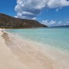
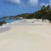
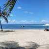
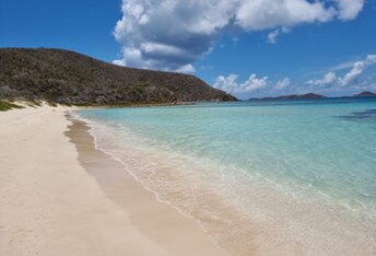
Virgin Gorda is a second largest island in the British Virgin Islands (BVI). There is no international airport, so there are just a few tourists, if compared with Tortola. Beaches are good enough, but still not so good like in Jost Van Dyke island. However, you can find everything that one might expect from the Caribbean: white sand, azure clear water, picturesque palms and beautiful landscapes. Shore and seabed: sand, stones. [edit]
Coordinates: 18.478782, -64.390145
See also: Best beaches in Virgin Gorda
Hotels [edit]
There are good hotels in the island of Virgin Gorda. But choice of accommodations is limited, these are expensive and poorly presented in the online booking systems. So it is hard to find a suitable option here. Especially if you have a limited budget.
How to get there [edit]
Fly to Tortola - Beef Island airport (EIS). Get by taxi to the port of Road Town (in Tortola island), and next get by ferry to Virgin Gorda island.
When to go [edit]
Feel free to relax any time of year on the island of Virgin Gorda. The hurricane season from June to October is a low season, but it is usually quite good anyway.Rainfall, mm

Water temperature, C

Temperature, C

Humidity, %

Wind speed, meter/sec


